
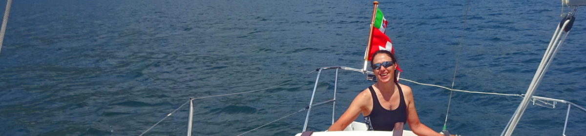
Where ever we sail we need charts to navigate. Mostly we use digital charts because they are so much cheaper and take up far less space. Often it is a problem to find detailed and up to date charts. In Scotland that was not a problem.
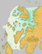
There are official charts of Scotland which are very good and then there are the Antares Charts. These are extremely detailed, extremely accurate charts created by Antares Charts.
The people behind these charts (Bob Bradfield and friends) go and do really detailed surveying and then publish the results for a ridiculously low price.
Using these charts, we were able to visit some amazing anchorages we would never have ventured in to otherwise. There is no way we would have dared enter Loch Tarbert on Jura without them.
If you are planning on sailing the Scottish Islands these charts are a “must have”.